Transport for NSW will stop selling printed boating maps through its online store and Service NSW centres from 1 December 2026, following a shift in how boaters access information about the state’s waterways. Digital versions of the maps will remain available to download free of charge from the NSW Government website.
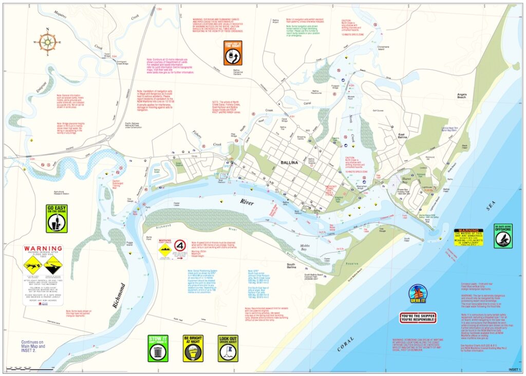
Lismore Casino Ballina digital map
The change comes ahead of the summer boating season, when many boaters will be planning trips away from their usual waterways. Those who prefer a paper copy will still be able to buy printed nautical charts and boating maps from retailers across NSW, or download a Transport for NSW map and have it printed.
Downloads drive the change
Transport for NSW Maritime says 97 per cent of boaters are already choosing digital maps. The agency recorded more than 41,800 downloads between April 2025 and February 2026. Over that same period, orders for printed maps were 65 per cent lower than historical levels recorded between January 2020 and March 2025.
Transport for NSW expects the impact on customers to be limited, given the take-up of digital maps and the options available to boaters who prefer paper. The agency says digital distribution allows it to update maps more quickly when navigational information changes and reduces the amount of paper used.
Boaters can access the maps on multiple devices, making it possible to review a waterway on a larger screen at home and carry the same map on a phone or tablet. The NSW Government website lists downloadable maps by area, so boaters can find the coverage they need for a particular trip.
Download a copy before heading out
For boaters using a digital chart, NSW Maritime recommends downloading a copy before departure, so it remains accessible if mobile reception drops out on the water. For a trip through unfamiliar waters, that means checking that the map covers the intended route and that it opens on the device being taken aboard.
NSW Government boating guidance says recreational vessel operators on open waters must carry a compass and an appropriate chart. The chart can be printed or digital and must show navigational features such as shallows, reefs, hazards and channels. Boaters must be able to show it to an authorised NSW Maritime officer or police officer if asked. A compass is still required on open waters when using satellite navigation.
For marine retailers, boat dealers and boating clubs that regularly field questions about local waterways, the change is worth flagging in the lead-up to summer. Customers who have previously bought a map through Service NSW can be directed to the free download page or to a retailer that stocks suitable printed charts. Boat hire operators and clubs can also pass on the offline download advice to people who may be visiting a waterway for the first time and relying on their phones for navigation.
For more information or to download a copy, visit their website: Boating maps for NSW waterways